CIPRA - Life in the Alps

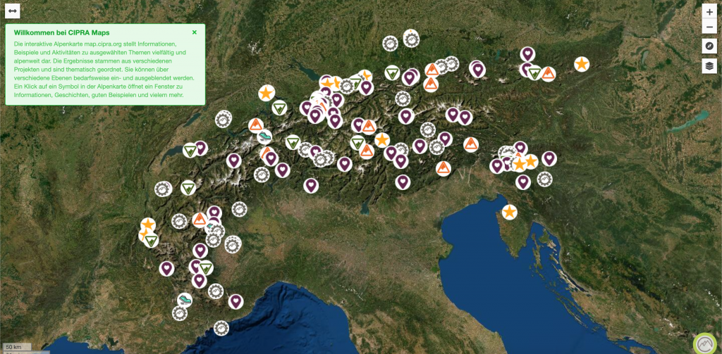
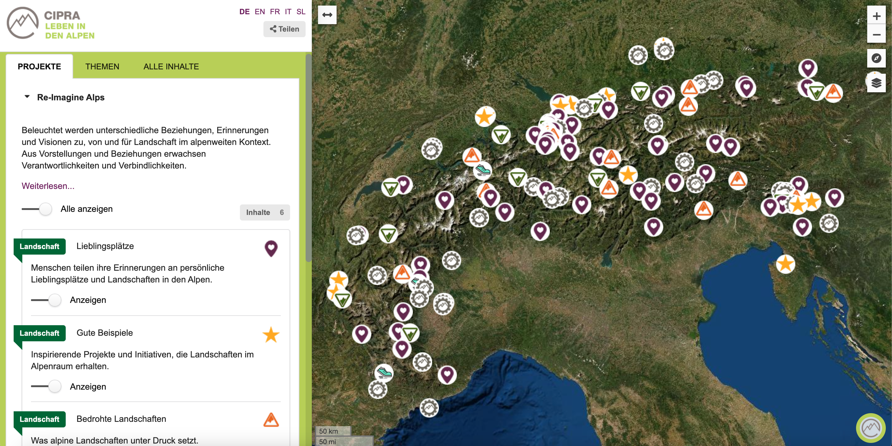
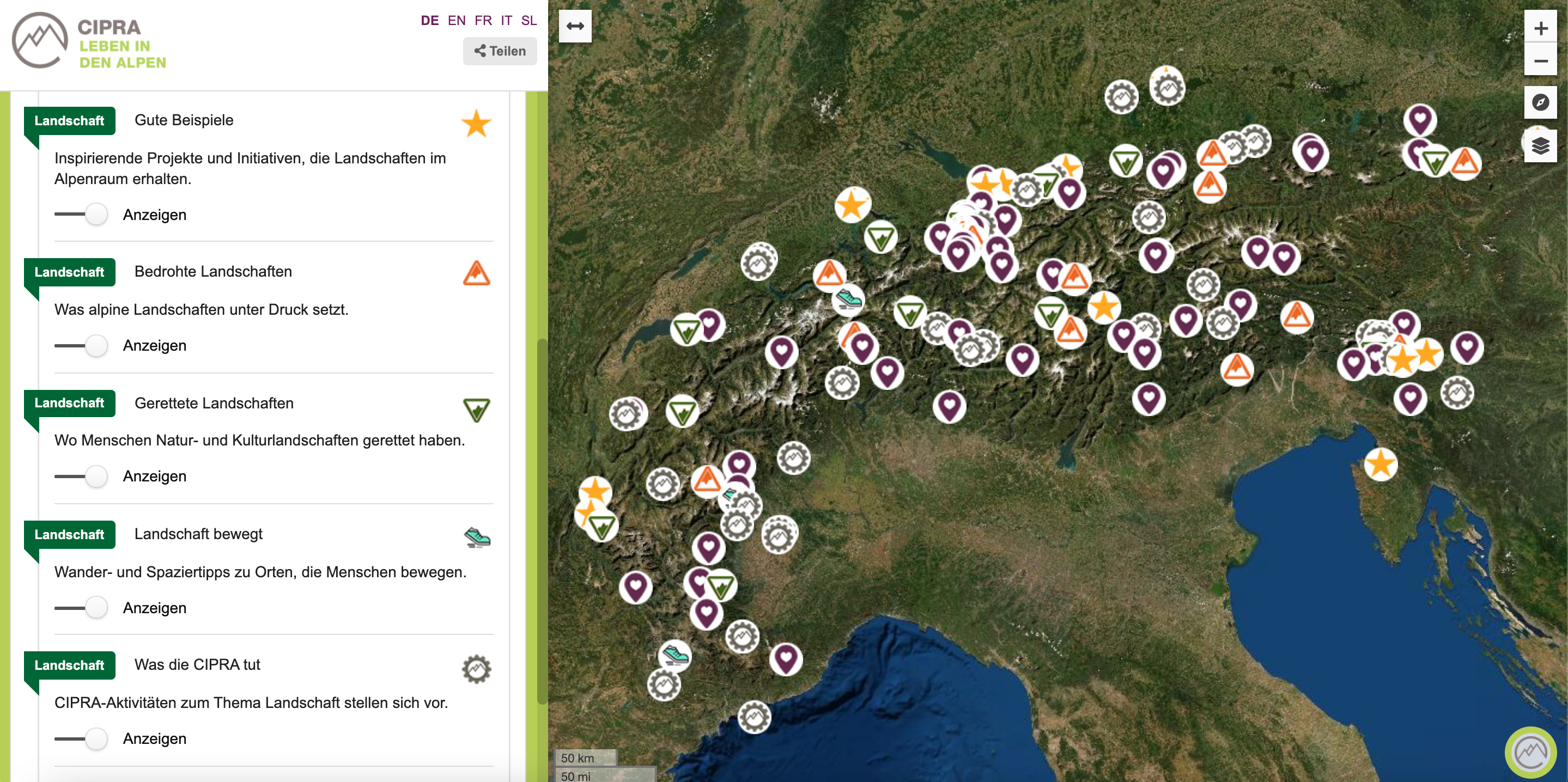
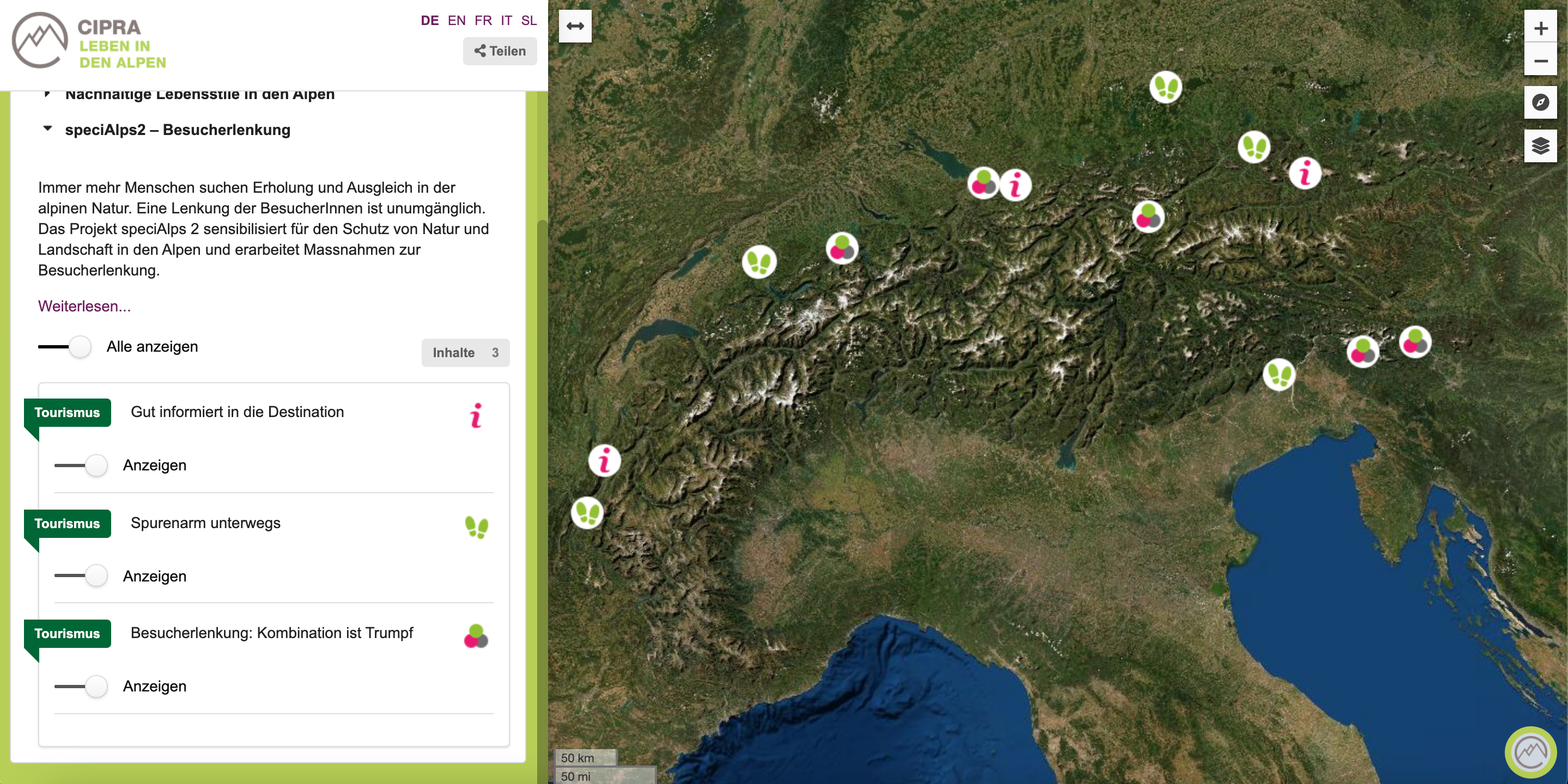
From favourite places in the Alps to rescued natural landscapes: As a non-governmental organisation, Geolicious’s interactive map allows us to showcase our projects and success stories from all Alpine countries in an attractive and easy-to-understand way. New categories, projects and locations can be easily added – in all Alpine languages as well as in English. In addition to photos, we can also easily integrate podcasts or videos. A real added value for our communication!

Implementation

A customized Geolicious GeoCMS is usedfor data management and the backend.

The web map is based on OpenLayers as amap framework and AngularJS.

Navigation and Content

Specific features

The map levels can be grouped and foundeither hierarchically by projects or bykeywords (“themes”).

As CIPRA is an international organisationwith sub-organisations in the five Alpinecountries, multilingualismwas a keyrequirement. Both the user interface of themap and the content can therefore betranslated.

The pop-up content for the map can beflexibly designed in Markdown format. Thisalso allows for easyembedding of iFramesfor videos and other media.

Wir erfassen anonymisierte Website-Statistiken mit Google Analytics. ICH STIMME ZU! oder nicht zu. ?