Geolicious has been supporting companies for more than 8 years in the field of individual geoinformatics projects.
Cartography for Print and Installations
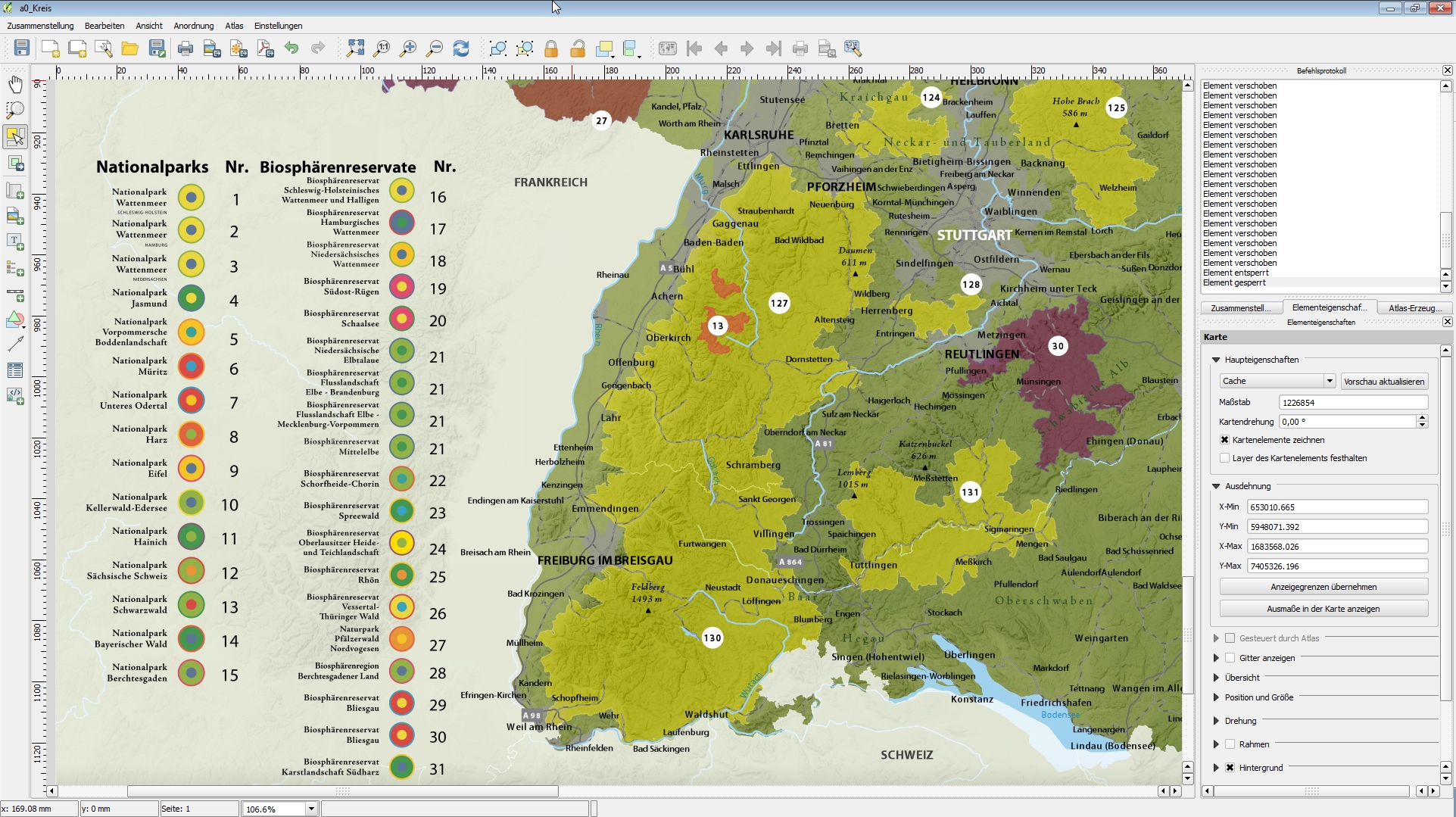
In addition to interactive maps, Geolicious also offers the creation of static maps for print or other formats. We are happy to process your individual requirements and can cover many services from simple maps to complex cartographic products. You can either integrate the products into your website or make them available in printed form.
Geolicious helps you with the conception of these maps and advises you on the acquisition of the data to be depicted. A topographic map from Geolicious offers coordinated results that can be flexibly adapted to your project and thus enable an optimal pricing in addition to precise functionality. The output in all file types and various prints goes without saying.
- Create your digital and printable map for all scales
- Integration of OSM data (display of cities, roads, rivers, lakes etc. )
- Presentation of your business and event data
- interactive and multimedia content (videos, pictures, etc. )
QGIS, PostGIS and Geo-Data Services
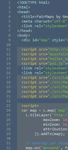
When creating your individual geodata solution, Geolicious relies on proven and latest technologies, especially from the open source sector. Whether it’s digital maps, GIS or data frameworks, Geolicious is your reliable partner for digital cartography and comprehensive geodata services.
We will gladly use our experience with geographic information systems for you and advise you on setting up your workflows, infrastructure and data analysis. Or hand in your tasks directly to Geolicious, we will process your data according to your wishes and bring our wide range of experience to your projects.
- Advice on the development of open source based geodata infrastructures
- customized hosting solutions for geodata servers
- Geostatistical evaluation of their geodata
- GIS training tailored for your employees, also on site
Tailor-made software development
We are often able to meet the requirements of our customers by using and combining existing software solutions from the open source sector. However, it often happens that customers need their own solutions that cover or complement entire business processes or parts of them. In this case, Geolicious offers the entire software development cycle from consulting to implementation.
For example, if you are already using the free QGIS geoinformation system, but want to speed up your own processes, a QGIS plugin may help you. We have many years of experience with QGIS and are happy to advise you without obligation and competent.
Further individual software solutions:
- interactive web maps and atlases
- automated data analysis, business
- intelligence solutions and internal tools
- Databases and web interfaces for data maintenance
Jetzt Projektanfrage senden
Wir freuen uns auf Ihre Anfrage und beraten Sie gern.