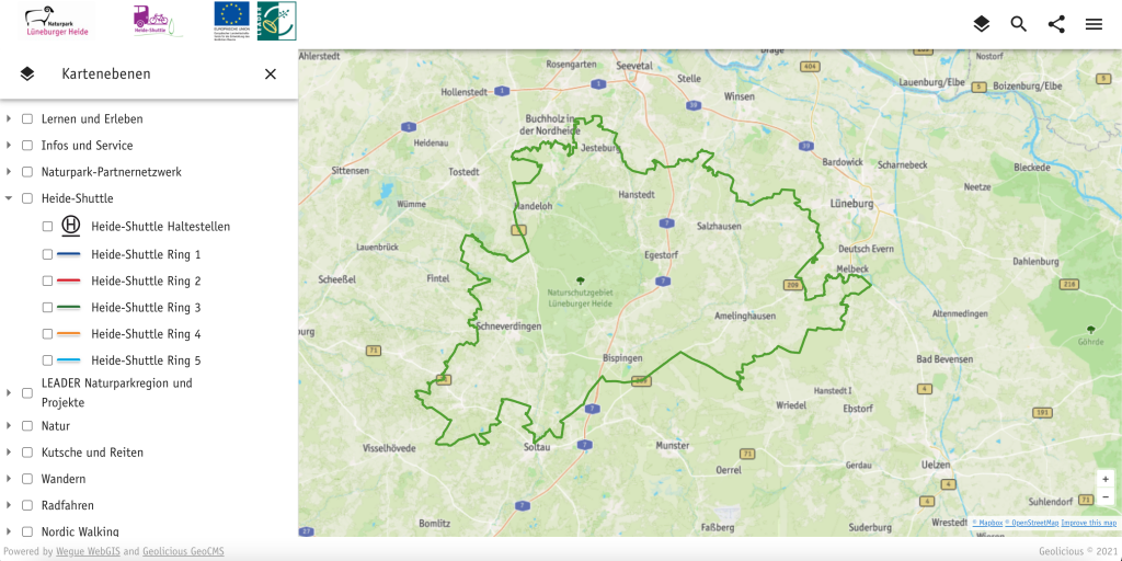
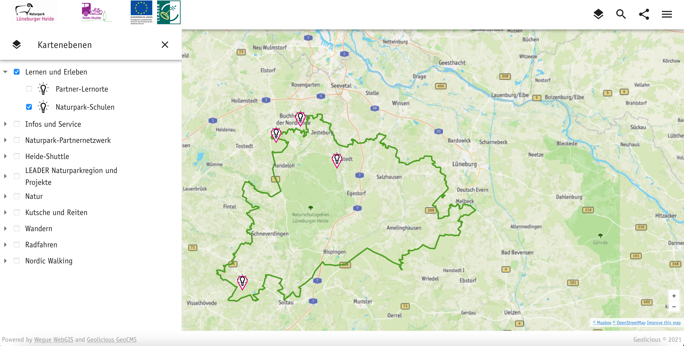
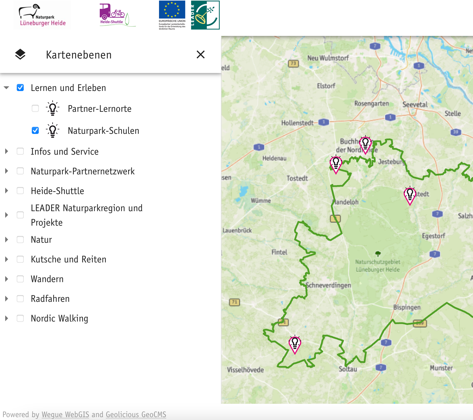
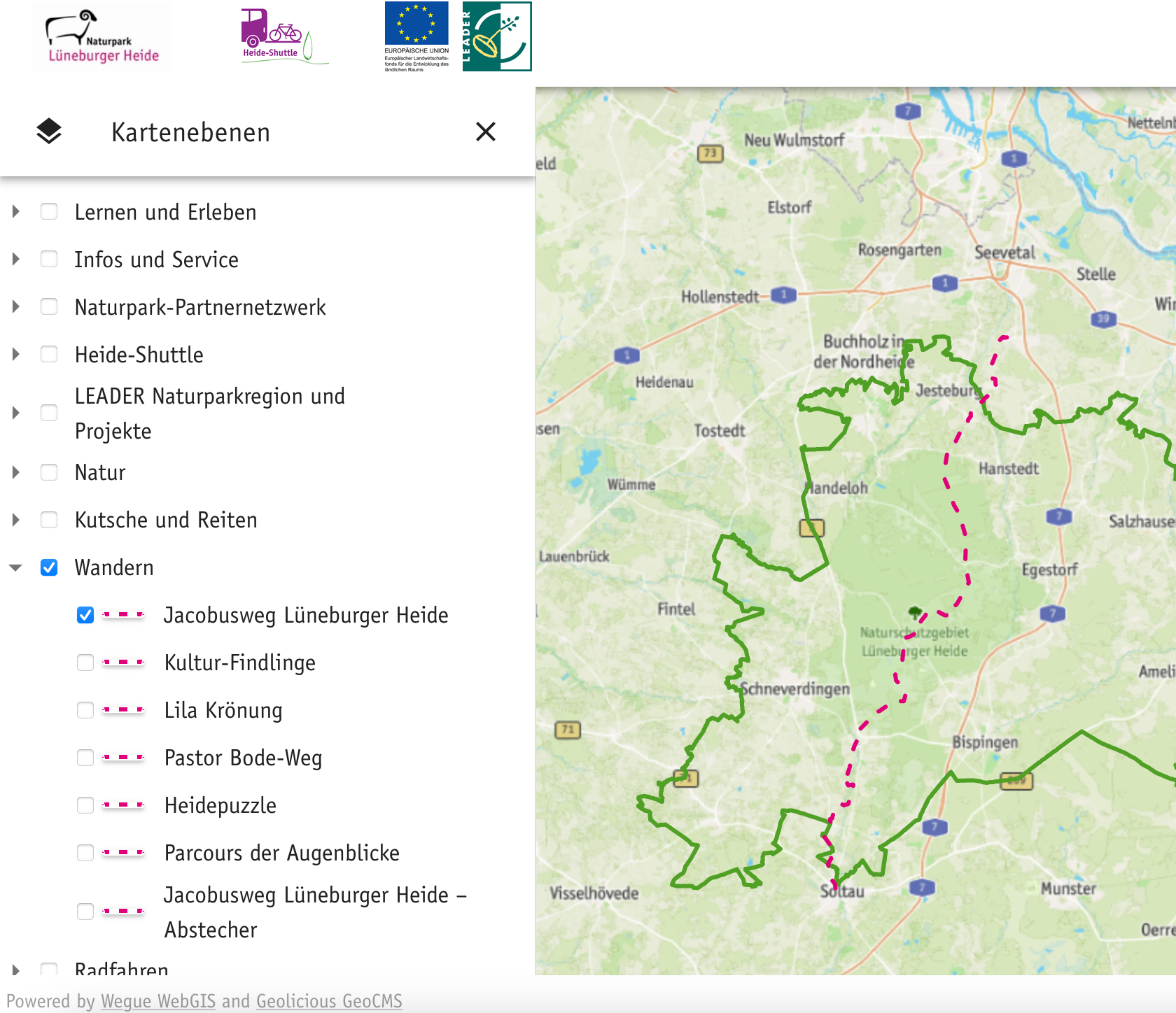
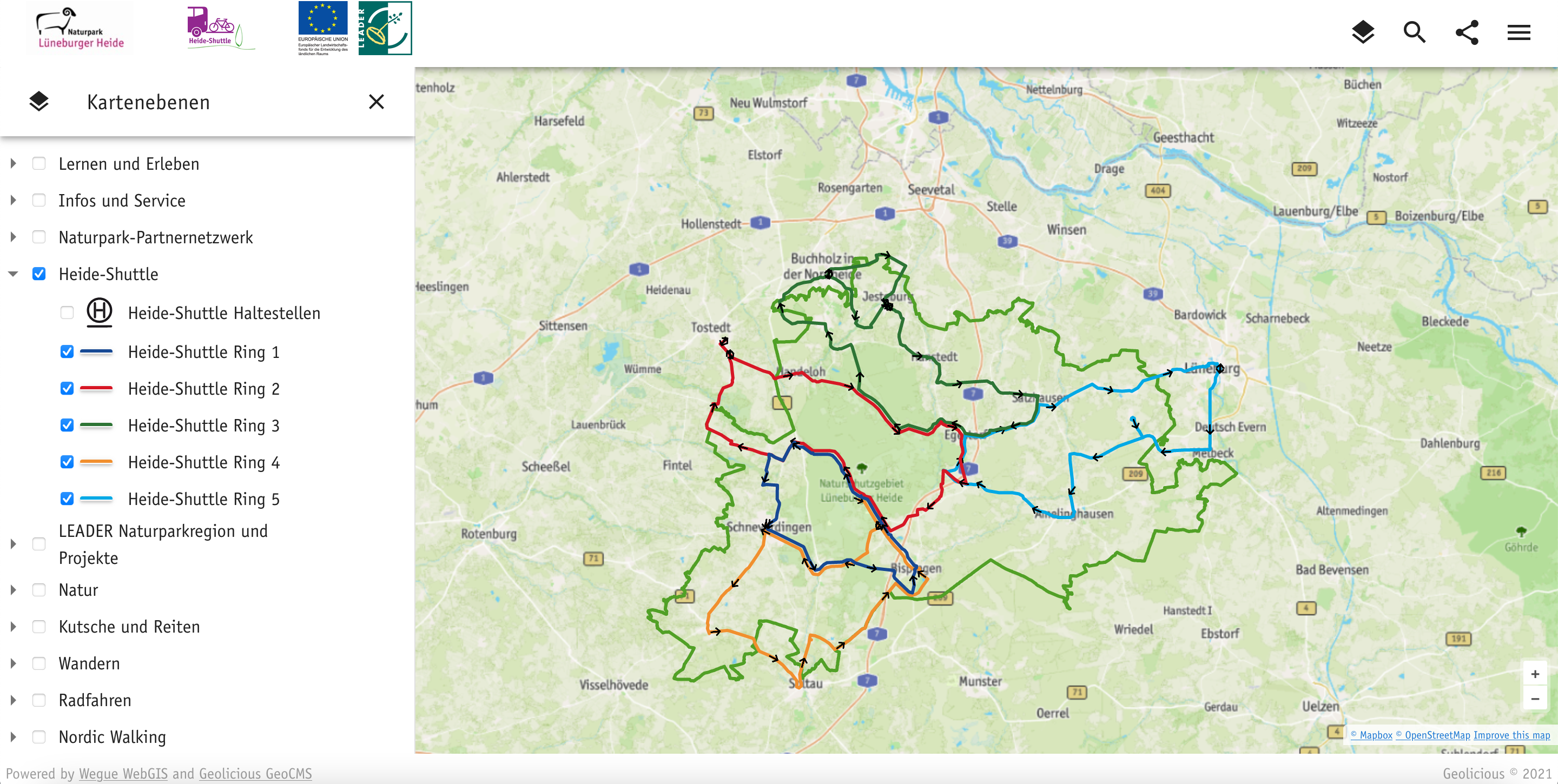
Nature park Lüneburger Heide watch live Feedback shows that our interactive map helps you plan activities both in advance and on site. This is especially true for the use of the five Heide Shuttle Buses! Implementation Geolicious GeoCMS for data managementComponent-based WebGIS Framework based on Wegue and OpenLayersHERE API for routing and search Navigation and Content Specific features Multilingualism for web map and contentmultimodal routingExport of calculated routes and routes from the database as GPX file for offline navigationTurn-by-turn directionsOne-way routes in the database, e. g. to be able to map Heide-Shuttle rings with direction arrowsLayer icons in the map menu (Legend)Use of the house typeface in the application and in the base map